It's also a hot hike at almost any time of year if the sun is shining. The entire route is up and across the south face of the mountain and with much exposure crosses boulder fields, meadow expanses, and snowy basins. Yesterday the temperature was in the 70s and the nearly solstice-high sun blazed from cloudless skies. Going up wasn't uncomfortable but coming down I eventually craved the shade even of single trees until I got back in to the lower deep forest.
I was first up the trail at 6:30 a.m. and didn't encounter another person until I'd begun my descent, eventually passing 20 before returning to the trailhead at 1:00 p.m.

The trail switchbacks up alongside this avalanche chute, looking 2000 ft up along the enormous concave southern slope of the mountain.

Looking downhill and south across the South Fork Snoqualmie River valley.

Looking along the final long westerly traverse to get up to the tarns and tumbled boulders near the summit.

At the top of that traverse the trail dips behind the mountain's southeast ridge where, more protected, there was still a lot of snow. A real alpine environment up here.
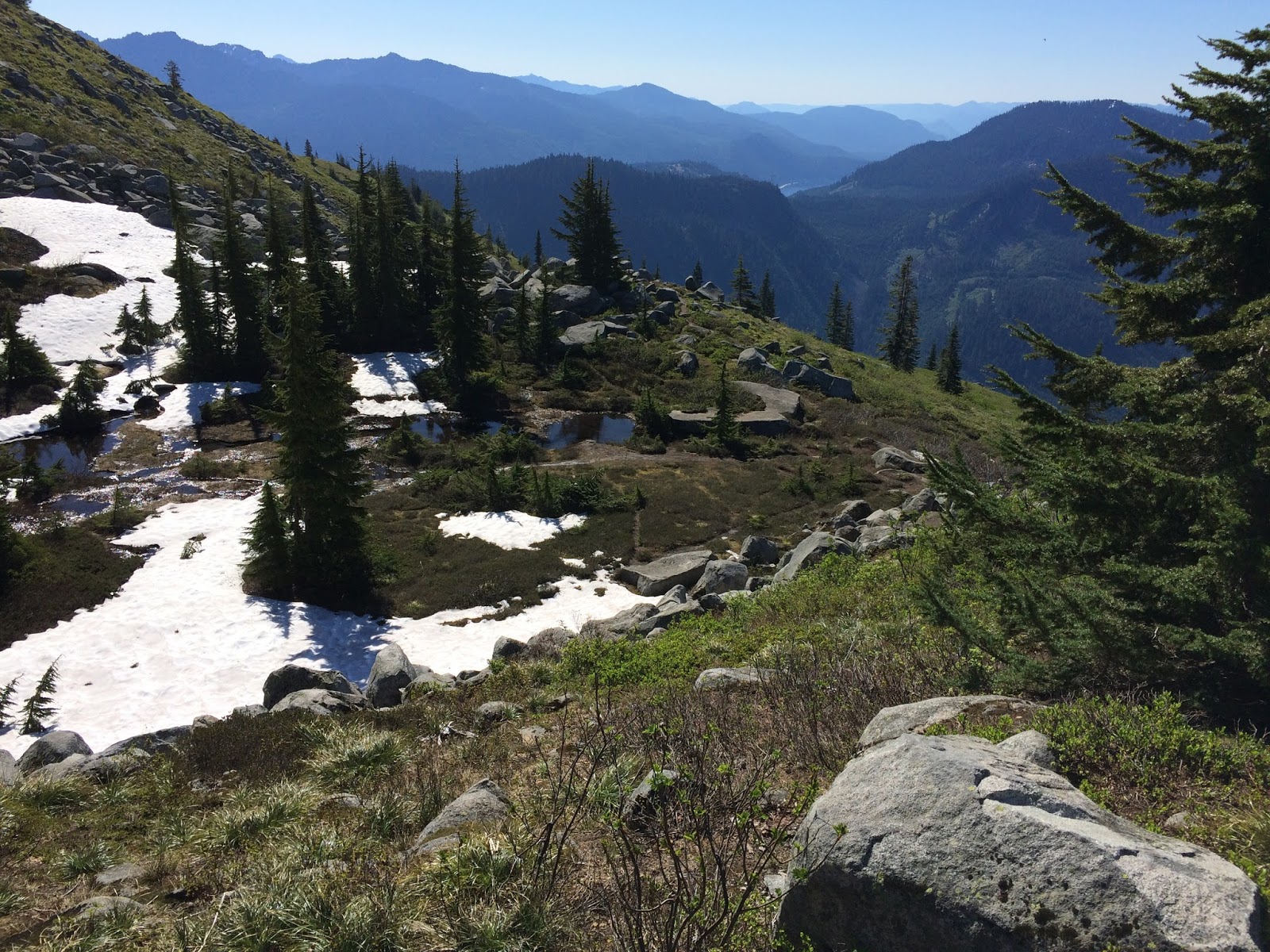
The view east across Snoqualmie Pass, Keechelus Lake and beyond.

Still some ways to go at this point, and now it was mostly in the snow, which was rapidly melting and increasingly slippery slushy as the sun rose higher.


A dramatic difference between the south and north sides of the mountain's eastern ridge, summer and winter.


Looking south at the way I'd come, I contemplated traversing the snow upward to intersect the boulder route on the spine of the eastern ridge, and making my way to the lookout from there.

Yes, I did wear a hat. And sunscreen. But it was a short sleeves and short pants day.

I began and abandoned a couple attempts to intersect the boulder route after I began to post-hole through the snow with no idea what voids might exist underneath. So I found my ascending tracks and followed them back to the dry trail, from where I could make the official start up the boulder route. The pinkish brown marks on the boulders where the lichen is worn away were about the only indication of "trail" from this point.

I spent about 20 minutes working my way up then called it quits, maybe 200 ft below and a quarter mile from the summit. From here at about 5400 ft this view of Mt. Rainier to the south. This shows the entire extent of the climb; the trailhead is down at the interstate.

Having descended some from my high point, looking back at the summit. Out there somewhere is Seattle.

And on the other side.

A final look back up. That's a magnificent waterfall, and this is about as close a view as one can get, so thickly overgrown is the avalanche chute.

And here's a bit of video from the hike: a panorama from the boulder ridge, and a pleasant little waterfall. As always, use HD and full screen!
No comments:
Post a Comment
I encourage and appreciate your comments, which I moderate to prevent spam – yours will be published shortly.