We have all we need for everyone to live well.

Thursday, May 19, 2016

Teneriffe again? Yes!

For Tuesday's outing, the big "loop with a pigtail" to Teneriffe Falls, Mt. Teneriffe, and Mt. Dixie. This route is a new favorite, a challenging 14 miles and 4000 feet of climbing, a great diversity of forest and mountain environments, and lots of big views. So rare and exciting to observe three mountain goats from about 150 feet, and a big brown rabbit, ears limned with black, from much closer.

I was in clouds from the time I started up the trail at 5:45 a.m., but they were thin and patches of blue came and went and eventually I had some brilliant sunshine through the wrack.
 

 Climbing toward the falls, looking west at Mt. Si.


Do you know what this is?
 

This is a couple hundred feet of the falls, and they continue maybe 300 feet more below.


Here's my bunny.
 

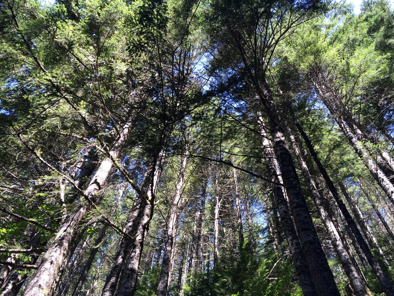
Just before emerging from forest onto the summit outcrop.
 

And this is what I saw when I stepped out of the forest.
 

Ready to summit Teneriffe. I'll come back here for my first breakfast.
 

On Teneriffe summit looking north to volcano Mt. Baker.
 

And south to Mt. Rainier.


East toward Snoqualmie Pass.


Back down to this little saddle, which today was shelter from the breeze so I boiled water and made hot chocolate and ate a peanut butter and honey sandwich.


Mt. Si off to the west.
 

The east-west part of the very little used ridge trail to Mt. Dixie.
 

The monument at Mt. Dixie's summit, looking west where the clouds parted to reveal the city and the Olympics beyond the Sound, then closed, parted, and closed again.
 

Fungi.
 

Rachor Lake between Teneriffe on the right and Dixie on the left.


Looking back up at Mt. Dixie's meadow summit.


Back on the main Teneriffe "road" trail, looking back up at Teneriffe summit.
 

Mountain goats!
 

And back down to the bottom, where the waters collect in fens and quiet pools.
 

Denizen.
 

Salmon berry.


First foxglove of the season.


And in case you just can't get enough, here is a collection of video from this hike, set to music that I had a hand in (two hands, actually). Full screen and HD resolution recommended.


Sunday, May 15, 2016

Luck blindness – the fallacy of self-attribution

Why Americans ignore the role of luck in almost everything – Jesse Singal at NY Mag:

Hindsight bias.

...a very important blind spot that can explain a great deal about how America is organized — specifically, the country’s somewhat lackadaisical approach to tackling inequality and, relatedly, to offering residents the sorts of government-sponsored social supports so common in the rest of the wealthy world. Because people have such an unbalanced view of the luck-versus-skill equation, they fail to understand that there is good reason to have programs that can help redress some of the imbalances that arise in such a luck-oriented world.

Incrementalism, pt. 4

Poor wages send a third of US manufacturing workers to welfare lines in order to pay for food, healthcare, data show – Angelo Young at International Business Times:

U.S. manufacturing jobs used to be a path to the middle class for Americans who couldn’t or didn’t dive into the comfort provided by higher education degrees. But now many skilled, working Americans need some form of public assistance because their wages don’t pay for basic living expenses.

Just over 2 million supervised manufacturing workers, or about a third of the total, need food stamps, Medicaid, tax credits for the poor or other forms of publicly subsided assistance while they work on goods that can carry the tag “Made in the U.S.A.,” according to research of official government wage and welfare data released Tuesday by the University of California, Berkeley.

The cost of these benefits to the U.S. taxpayer? From 2009 to 2013, federal and state governments subsidized the low manufacturing wages paid by the private sector to the tune of $10.2 million per year.

Thursday, May 12, 2016

Incrementalism, pt. 3

Scarred for Life (Occasional Links & Commentary):
Data spanning the recession years show a link between high unemployment and increased abuse of painkillers and hallucinogens. The U.S. suicide rate climbed 24% between 1999 and 2014, a rise that accelerated after 2006, according to the Centers for Disease Control and Prevention. One study of Pennsylvania men who lost long-held jobs during the early 1980s found a spike in mortality following a layoff, with middle-aged men set to lose a year to 18 months off their lifespans.


Bandera Mountain hike on a beautiful 11 May

From Seattle out I-90 to Exit 45 and up the north ridge of the South Fork Snoqualmie River valley to the Ira Spring Trailhead. Up to the Mason Lake junction and on up Bandera. I was first onto the trail at 6:20 a.m. (2200 ft) and arrived at the true summit (5240 ft) at 8:45, having met one other person over those four miles (she passed me). By the time I returned to the Mason Lake junction the trail had become crowded, and I encountered 47 others before I got back to the parking lot at 11:45. Still early for many wildflowers but it won't be long now.


Mason Creek crossing, looking across the valley to the south and McClellan Butte.


Upstream at the Mason Creek crossing.


A dominant view to the south, from the left: Gardner, Tinkham, and McClellan.


The grouse are still drumming their romantic intentions, and this one proudly displayed for me.


Such a scarring of second-, third-, and no-growth after a century of logging.


Photos cannot convey the scale of Rainier, three times the height of the surrounding mountains.


Ascending the spine of boulders that connects two false summits to the true summit of Bandera.


From Bandera summit.


From Bandera, west to Mt. Defiance, with mostly snow-covered Mason Lake below, and Lake Kulla Kulla behind.


This Clark's Nutcatcher enjoyed some morsels of an energy bar.


Steep stair-stepping straight up this convex slope to the summit ridge.


Winter trail damage by rock falls and slides.


Back down to Mason Creek.


Another little stream bounding down the mountainside.


Overhead.


Here is a collection of video from the hike, with music by WHAT (Steve Ball, David LaVallee, Lee Silberkleit, Paul O'Rear, and me).


Friday, May 6, 2016

The CCC Trail and Green Mountain

Beyond Mt. Si, beyond Dixie and Teneriffe, the next named peak on the north side of the Middle Fork Snoqualmie River is Green Mountain. From North Bend I took Mt. Si Road to its end, beyond the Teneriffe trailhead at the school bus turnaround. I ignored the specious "private property" signs and continued up the hill another mile, keeping to the right at the Ys, and finally to the big blue gate and the CCC (Civilian Conservation Corps) Trail. I stepped onto the trail at 6 a.m. and in a couple miles, at a rusted old gate, I left the CCC Trail and headed uphill on the Green Mountain Trail. I eventually passed what I thought must be the summit trail, and continued to the Last Promontory viewpoint, then to the Absolute Last Promontory. From there the trail quickly degraded and within another quarter-mile was an impassable mess of berry vines and fallen trees. I returned to the presumed summit intersection and climbed steeply by a fairly well-used but poorly-maintained trail along an old logging road. At the road's end I lost the trail and before long my interest in trying to find my way to the summit. I turned around, had a pleasant lunch at a beautiful overlook, and came the rest of the way back down, getting to the car at 1:45 p.m. And I never saw another soul.


Last year's growth and this year's.
 

Ironmongery, the lock box for the abandoned gate that marks the beginning of the Green Mountain Trail.


First sunlight creeping into the valleys.


The strange things one finds in the woods... 


Camouflage. 


Terrific views of the Middle Fork Snoqualmie River valley.


Middle Fork, flowing downstream to the right. Mailbox Peak sloping down to divide the river, and the South Fork behind, along which flows I-90 from Seattle up to the pass. This view from Last Promontory.


And this from Absolute Last Promontory.


Beyond this the trail petered out until it looked like this going forward.


And like this looking back. I turned around.


As far as I got looking for a way to the summit.


Lunch.


The view from my lunch spot. I saw a soaring grouse, another strange sight.


A trillium with abnormally large leaves.