
Mason Creek crossing, looking across the valley to the south and McClellan Butte.

Upstream at the Mason Creek crossing.

A dominant view to the south, from the left: Gardner, Tinkham, and McClellan.

The grouse are still drumming their romantic intentions, and this one proudly displayed for me.

Such a scarring of second-, third-, and no-growth after a century of logging.

Photos cannot convey the scale of Rainier, three times the height of the surrounding mountains.

Ascending the spine of boulders that connects two false summits to the true summit of Bandera.


From Bandera summit.

From Bandera, west to Mt. Defiance, with mostly snow-covered Mason Lake below, and Lake Kulla Kulla behind.

This Clark's Nutcatcher enjoyed some morsels of an energy bar.

Steep stair-stepping straight up this convex slope to the summit ridge.

Winter trail damage by rock falls and slides.

Back down to Mason Creek.

Another little stream bounding down the mountainside.

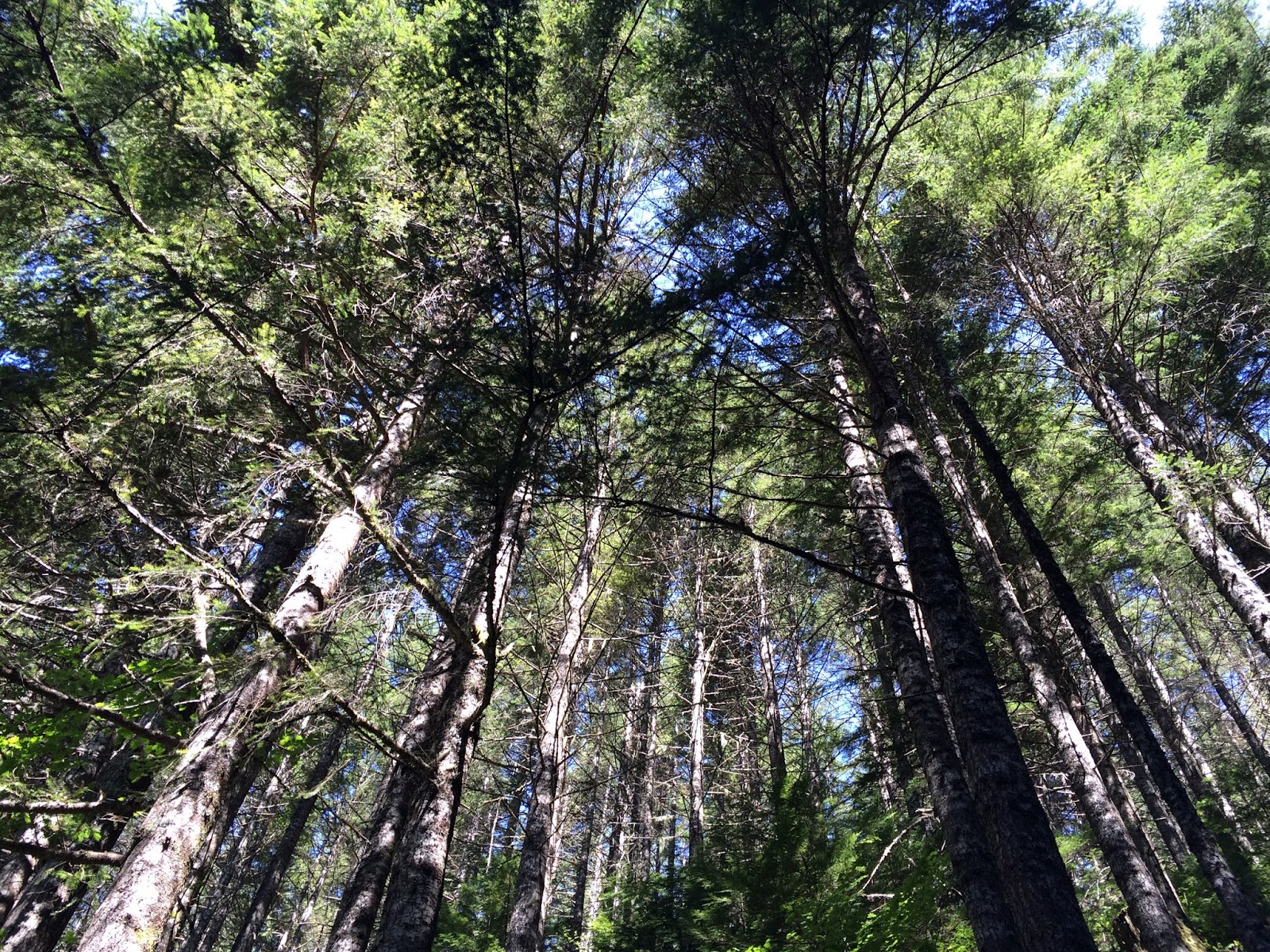
Overhead.
Here is a collection of video from the hike, with music by WHAT (Steve Ball, David LaVallee, Lee Silberkleit, Paul O'Rear, and me).
No comments:
Post a Comment
I encourage and appreciate your comments, which I moderate to prevent spam – yours will be published shortly.