We have all we need for everyone to live well.
Showing posts with label map. Show all posts

Monday, July 18, 2016

Another big two-summit loop: Catherine & Silver, Snoqualmie Pass, WA on 2016.07.14

A very different hike on Thursday than last week's Davis Peak, as the topo shows. Up to Snoqualmie Pass and south beyond the ski slopes to the Cold Creek trailhead. Twin Lakes are at the bottom of a bowl that I looped around counterclockwise, with side trips to summit Mt. Catherine then Silver Peak, and including a few miles of the Pacific Crest Trail. About 12 miles roundtrip and 3900 feet of climbing altogether. Lots of storm-downed trees on the Mt. Catherine trail which is little-maintained, some 4 and 5 feet in diameter that were a considerable challenge to get past. This hike has a lot of everything: old forest, lakes and streams and waterfalls, enormous views, tortured mountain landscapes, deep shade and bright sunlight. Highly recommended.


The wind really blows up here sometimes.


Upon Mt. Catherine's summit, formerly the site of an aircraft navigation beacon for Snoqualmie Pass over the Cascades. The guy cables and front panel of an equipment box are about all that remain.


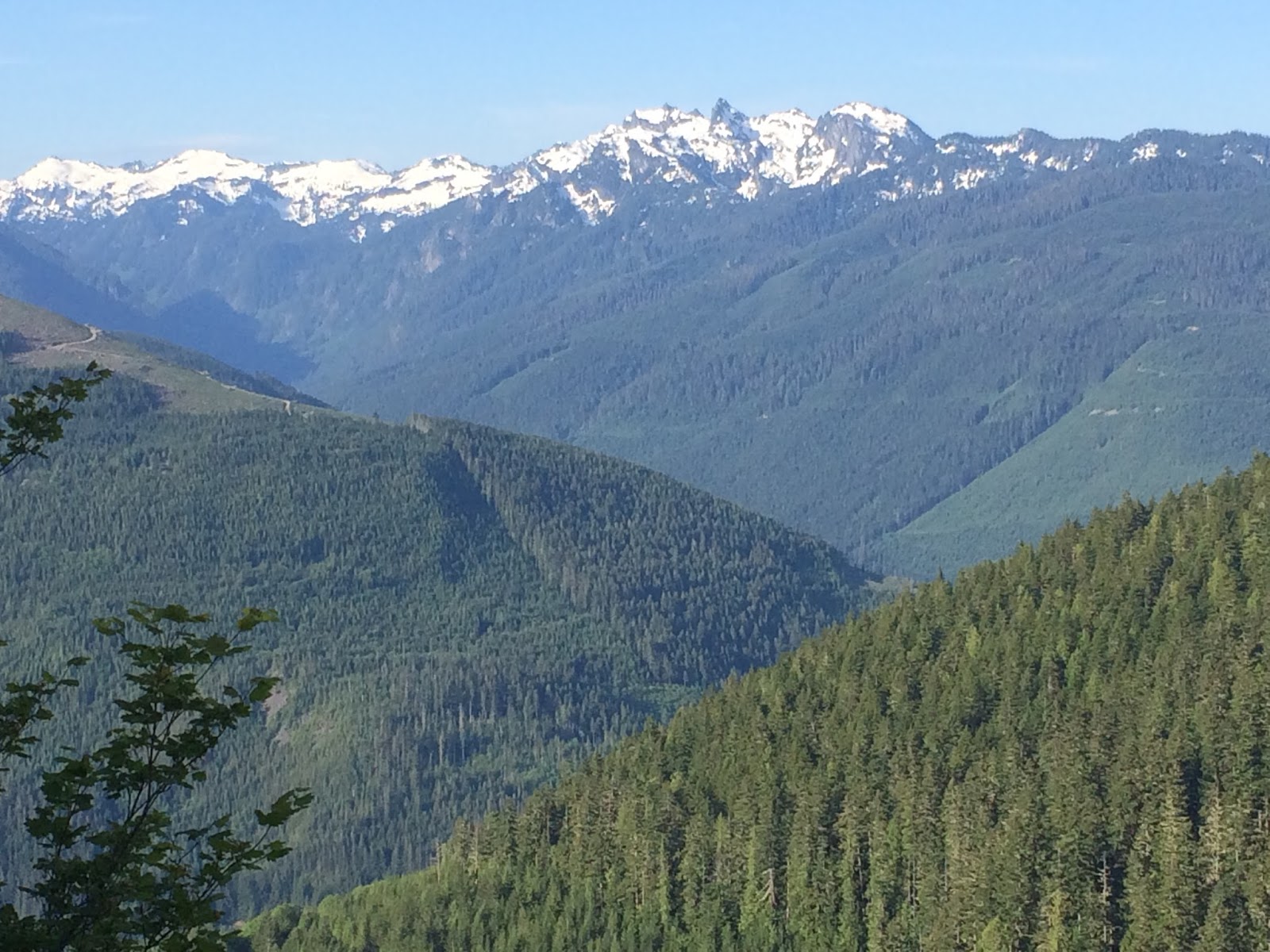
From Mt. Catherine, looking across the Cold Creek basin around which I walked. My next destination was Silver Peak, on the right. Abiel is the next peak, then Tinkham, with Rainier in the background.
 

Lake Keechelus and off into eastern Washington.
 

 The Pacific Crest Trail at Windy Pass.


In Ollalie Meadow, one of my favorite alpine lakes.
 

After side-hilling through the forest beneath Silver on the PCT, a first glimpse of the southern ridge I'll eventually climb.


From the Tinkham/Abiel/Silver saddle, looking north at Silver.


Felsenmeer. This is really steep, and a lot of the stones move at least a little when trod upon. 


Up up up.


From Silver Peak, looking back at Mt. Catherine.


This is a really pointy summit.
 

And down down down again.
 

Tuesday, June 7, 2016

Beckler Peak in the clear air

Last Wednesday I drove a little farther than usual for my day hikes, up Highway 2 to Skykomish, much of the way up Stevens Pass. Nine miles off the pavement is the Jennifer Dunn Trailhead, and then it's 2260 ft up and 3.7 mi forward to the summit, first along converted logging road with numerous little creek crossings, up to an old logging platform with wide views to the south and west. The trail enters a parkland of older growth and I climbed eventually into snow that gave way to the final ascent through rotted granite outcroppings and finally the bare rock summit. The cool, still air was particularly clear, allowing especially detailed views along the horizon.


Occasional views to the south as I climbed began to reveal the snowy larger mountains in the distant Alpine Lakes Wilderness where I usually hike.


I walked a quarter-mile or so across a snowfield near the summit, a dirty and hard-packed remnant of winter before the shade gives way to rocky and sunny ground.


The last of the snow.


From the summit at 5028 ft, this view to the north of the Wild Sky Wilderness and beyond to volcano Mt. Baker.


There was so little breeze that I had my breakfast upon the true summit, boiling water for hot chocolate and gazing around and around.


The monochromatic skies were filled with lenticular clouds, here to the east over Stevens Pass.


This was my view to the west, Mt. Index prominent in the background on the right.


Switchback through the parkland below the snow.


And another switchback.


Lots of little streams, chirruping waters.


Here's a collection of video from this hike. Be sure to use full-screen and HD!


Tuesday, March 26, 2013

The Wind Arose and Swept the Snow – Our Place in the Landscape

We occupy a rather unique geography here at American Nacre that has a large effect on how the elements treat us. Here is an aerial photograph that shows the farm last May as seen from an altitude of about 17,000 feet. Our 40 acres is the small square of land surrounding the pushpin – you can see the 1000 feet of lane running up the middle, paralleling Kincaid Creek. You can see all the dark green of wooded creeks running to the southeast, falling steeply off the bluff onto the Mississippi River floodplain. To the northwest, another series of creeks drains more gently into the Cedar River, another of Iowa's many large rivers, but which despite its nearness at this point doesn't have its confluence with the Mississippi for another fifty miles downstream. The grey-tan fields in between these two major drainages are an edge of a plateau scraped flat during the last ice age, and all these rivers and creeks were formed after the glaciers receded.

The upshot of all this is that American Nacre sits just below the plateau, enough that winter winds from the west and northwest tend to pass over much of the farm, rather than blowing across it. You can use the live map link to fly around the farm and see how steeply the land falls into the drainages.


View Larger Map

Which leads to the next set of photographs.

In the woods and the creek valley, the snow has fallen softly and evenly in relatively calm air. Snow several inches deep balances even on very slender branches. But along the west fence line it's a different matter. The neighbors' soybean and hay fields are swept by the wind, which sculpts the snow into beautiful drifts as it is released in the vortices produced by the fences and brush and terraces that separate our land from theirs.


Sunday, January 27, 2013

Farm Map Now Available for Viewing

Alan has combined GPS data with the latest aerial photograph of the farm to create a map of the property, a small image of which is reproduced below. You can always get to the full-size map by clicking the link at the top of the page. We'll add details as time goes by.


At present there is no legend, so here are some clues:

  • North is at the top
  • Solid pink is the lane from the road to the farmstead
  • Pink dotted lines are tractor trails and footpaths
  • Blue dotted lines denotes the creek and its tributaries
  • Yellow denotes the boundary fences
  • Circles are an incomplete inventory of the old growth trees
If you've any questions about what you're looking at, leave a comment below and we'll do our best to answer them.