The wind really blows up here sometimes.
Upon Mt. Catherine's summit, formerly the site of an aircraft navigation beacon for Snoqualmie Pass over the Cascades. The guy cables and front panel of an equipment box are about all that remain.
From Mt. Catherine, looking across the Cold Creek basin around which I walked. My next destination was Silver Peak, on the right. Abiel is the next peak, then Tinkham, with Rainier in the background.
Lake Keechelus and off into eastern Washington.
In Ollalie Meadow, one of my favorite alpine lakes.
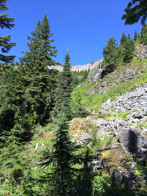
After side-hilling through the forest beneath Silver on the PCT, a first glimpse of the southern ridge I'll eventually climb.
From the Tinkham/Abiel/Silver saddle, looking north at Silver.
Felsenmeer. This is really steep, and a lot of the stones move at least a little when trod upon.
Up up up.
From Silver Peak, looking back at Mt. Catherine.
This is a really pointy summit.
And down down down again.


