We have all we need for everyone to live well.

Thursday, May 12, 2016

Bandera Mountain hike on a beautiful 11 May

From Seattle out I-90 to Exit 45 and up the north ridge of the South Fork Snoqualmie River valley to the Ira Spring Trailhead. Up to the Mason Lake junction and on up Bandera. I was first onto the trail at 6:20 a.m. (2200 ft) and arrived at the true summit (5240 ft) at 8:45, having met one other person over those four miles (she passed me). By the time I returned to the Mason Lake junction the trail had become crowded, and I encountered 47 others before I got back to the parking lot at 11:45. Still early for many wildflowers but it won't be long now.


Mason Creek crossing, looking across the valley to the south and McClellan Butte.


Upstream at the Mason Creek crossing.


A dominant view to the south, from the left: Gardner, Tinkham, and McClellan.


The grouse are still drumming their romantic intentions, and this one proudly displayed for me.


Such a scarring of second-, third-, and no-growth after a century of logging.


Photos cannot convey the scale of Rainier, three times the height of the surrounding mountains.


Ascending the spine of boulders that connects two false summits to the true summit of Bandera.


From Bandera summit.


From Bandera, west to Mt. Defiance, with mostly snow-covered Mason Lake below, and Lake Kulla Kulla behind.


This Clark's Nutcatcher enjoyed some morsels of an energy bar.


Steep stair-stepping straight up this convex slope to the summit ridge.


Winter trail damage by rock falls and slides.


Back down to Mason Creek.


Another little stream bounding down the mountainside.


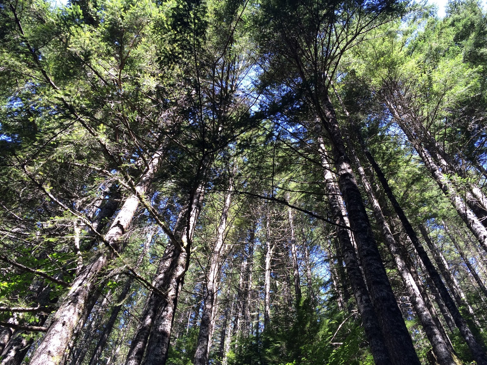
Overhead.

Here is a collection of video from the hike, with music by WHAT (Steve Ball, David LaVallee, Lee Silberkleit, Paul O'Rear, and me).


Friday, May 6, 2016

The CCC Trail and Green Mountain

Beyond Mt. Si, beyond Dixie and Teneriffe, the next named peak on the north side of the Middle Fork Snoqualmie River is Green Mountain. From North Bend I took Mt. Si Road to its end, beyond the Teneriffe trailhead at the school bus turnaround. I ignored the specious "private property" signs and continued up the hill another mile, keeping to the right at the Ys, and finally to the big blue gate and the CCC (Civilian Conservation Corps) Trail. I stepped onto the trail at 6 a.m. and in a couple miles, at a rusted old gate, I left the CCC Trail and headed uphill on the Green Mountain Trail. I eventually passed what I thought must be the summit trail, and continued to the Last Promontory viewpoint, then to the Absolute Last Promontory. From there the trail quickly degraded and within another quarter-mile was an impassable mess of berry vines and fallen trees. I returned to the presumed summit intersection and climbed steeply by a fairly well-used but poorly-maintained trail along an old logging road. At the road's end I lost the trail and before long my interest in trying to find my way to the summit. I turned around, had a pleasant lunch at a beautiful overlook, and came the rest of the way back down, getting to the car at 1:45 p.m. And I never saw another soul.


Last year's growth and this year's.
 

Ironmongery, the lock box for the abandoned gate that marks the beginning of the Green Mountain Trail.


First sunlight creeping into the valleys.


The strange things one finds in the woods... 


Camouflage. 


Terrific views of the Middle Fork Snoqualmie River valley.


Middle Fork, flowing downstream to the right. Mailbox Peak sloping down to divide the river, and the South Fork behind, along which flows I-90 from Seattle up to the pass. This view from Last Promontory.


And this from Absolute Last Promontory.


Beyond this the trail petered out until it looked like this going forward.


And like this looking back. I turned around.


As far as I got looking for a way to the summit.


Lunch.


The view from my lunch spot. I saw a soaring grouse, another strange sight.


A trillium with abnormally large leaves.


Thursday, May 5, 2016

Incrementalism, pt. 2

Hillary forces target Bush donors.

“I’m not worried about it at all,” the CEO of one large bank said this week. “[Trump] is going to lose and we will all wake up after election day and things will be just like they’ve been the last eight years with a Democrat in the White House and Republicans controlling Congress.”

Tuesday, May 3, 2016

Incrementalism


In other words, as MIT’s Michael Stepner puts it, the changes in life expectancy we’ve witnessed over the last 15 years rank as “the equivalent of the richest Americans winning the war on cancer.”
The gap widens to a chasm when you look at the 1 percent.
Forty-year-old American women among our nation’s top 1 percent can now expect to live 10 years longer than women of the same age in America’s poorest 1 percent. For men, the gap has grown even wider — to 15 years.
All these stats come from a study just published in the Journal of the American Medical Association. This new research combines IRS tax records with Social Security Administration mortality data to paint a deeply unnerving picture of 21st-century life and death.

Thursday, April 28, 2016

Mount Teneriffe and Dixie Peak in the clouds


Another day exploring in the Mt Teneriffe area. I-90 from Seattle to North Bend, Mt Si Rd to the Teneriffe trailhead (the beginning of the blue trace at the south edge of the topo map, below) at 950 ft elevation and stepped onto the trail at 6 a.m.  Up to the Teneriffe (Kamikase) Falls trail (red trace) and by the southwest ridge trail to the Teneriffe summit (4788 ft) at 9:30 a.m. Then by the blue trace to the Dixie Peak link (orange trace). I'd never before walked this seldom used and little maintained trail and I left the only footprints along the way. Arrived at the true summit of Dixie Peak (4606 ft) at 11:15 a.m. and eventually returned to the Teneriffe road trail and completed the loop back to my beginning.


The lower part of Teneriffe Falls.


 The upper part of the falls.


A brief diversion before heading up up up.


The southwest ridge is really steep, including a mile that ascends 2400 ft.


I heard several male grouse—I think they are sooty grouse—doing their springtime drumming, and saw this one putting on a display. You can get a better idea what you're looking at here.


A grey day, fog and clouds, but little bits of color appearing. Still too early for many wildflowers.


From Teneriffe summit to the north.


About the only bit of sunshine all day. Dixie Peak rises to the left, with Rachor Lake below.


On the narrow rocky spine that connects Dixie's false south and true summits. Looking down at Crater Lake and above the two minor peaks, Blowdown Mountain (left) and Crater Lake Peak (right).


On to the true summit.


As indicated by a cairn. Had it been clear, the views would have been large.


Back down the spine.


I walked through a lot of rotted snow up there, slushy and slippery, and tomorrow will be feeling rather stiff, I imagine, from having lost my footing several times.


Back down on the Teneriffe "road" trail.


And finally to return where winter has little impact.


Wednesday, April 27, 2016

The government cannot run out of money

h/t @StephanieKelton: "Permit me to translate Greenspan: 'It's about real resource constraints not financial constraints.'"


And yet people hold on to their ideas about money as though religion, and so we cannot be a modern nation with modern amenities, and the suffering shall continue. Because we think we can run out of fiat.